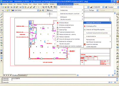
CAD Application for the development of the Emergency and Evacuation Maps.
Using the CAD tools, maps and diagrams can be created, automating design processes, locations, signage, meeting points, evacuation routes, itineraries, protection equipment and symbols, location of equipment, accessibility, enclosure of action zones, establish fire load criteria, integrity and thermal insulation of elements and structures, etc.